armasuisse S+T – Edge AI for Satellites and Drones
Real-time object detection – on hardware that uses less power than a lightbulb.
IndustrySpace & Research
ServicesSoftware Engineering · Data Engineering
Period2021–2024 (3 phases)
Challenge
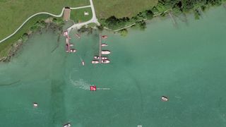
Satellite images are traditionally sent to the ground for analysis. For time-critical applications like disaster detection, this is too slow. Image analysis must happen directly on the satellite or drone.
Solution
Phase 1: Image processing pipeline with TensorFlow for calibration and geocorrection
Phase 2: YOLO-based object detection on FPGA hardware
Phase 3: End-to-end demo on drone with real-time analysis
Our Contribution
Development of the complete image processing pipeline
Model training and optimization for FPGA deployment
Integration and testing on Xilinx FPGA hardware
Building the end-to-end demonstrator system
Technologies
PyTorchYOLOTensorFlowXilinx FPGAVitisAIC++
Results
Functioning demonstrator for edge computing: 10.5 megapixels per second inference performance at only ~26 watts power consumption. The solution is deployable on satellites, drones, or autonomous vehicles, demonstrating that complex image analysis is possible even under extreme resource constraints.